Save
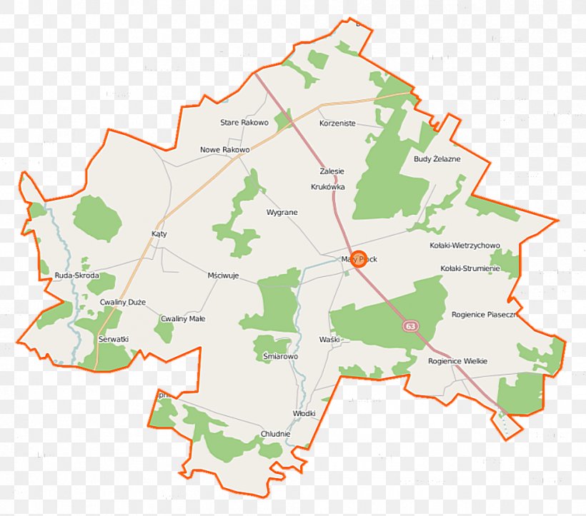
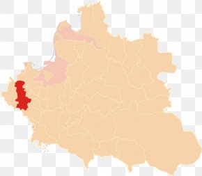
User Kalekdan uploaded this Map - Zalesie, Gmina Mały Płock Rogienice Wielkie Map PNG PNG image on November 19, 2022, 4:19 pm. The resolution of this file is 988x872px and its file size is: 170.91 KB. This PNG image is filed under the tags:
Map - Zalesie, Gmina Mały Płock Rogienice Wielkie Map PNG
Below are more related PNG images...