Save
User thucnhontk12 uploaded this Map Plan - Gmina Ślesin Kramsk Podgórz Konin Voivodeship Map PNG PNG image on November 10, 2021, 1:04 pm. The resolution of this file is 786x597px and its file size is: 98.72 KB. This PNG image is filed under the tags:
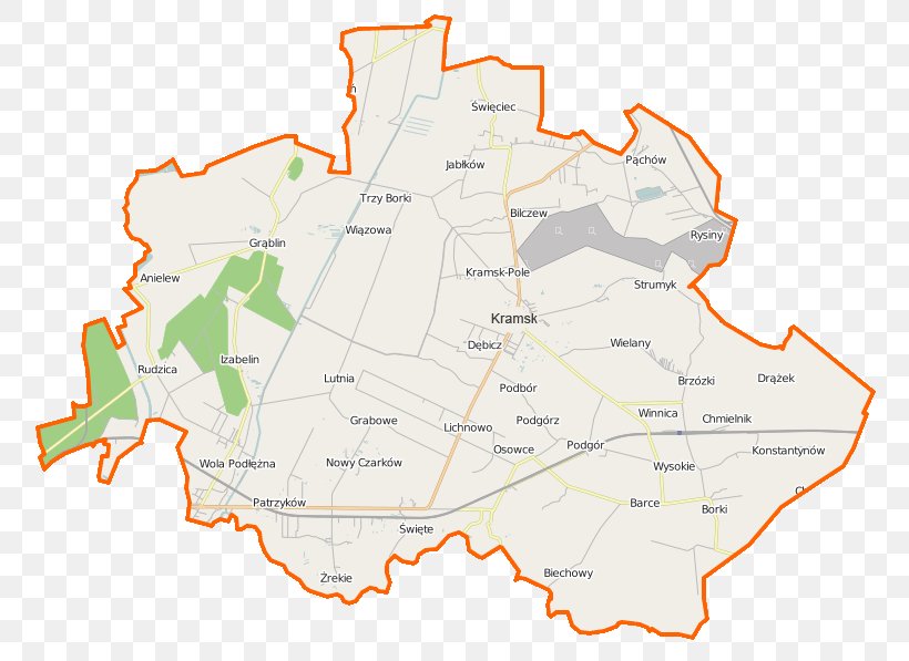
Map Plan - Gmina Ślesin Kramsk Podgórz Konin Voivodeship Map PNG
Below are more related PNG images...