Save
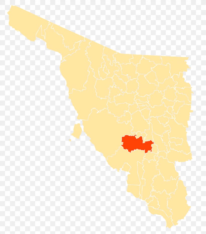
User lanapengar365 uploaded this Map - Sahuaripa Yécora Ures Mazatán Map PNG PNG image on February 5, 2019, 7:51 am. The resolution of this file is 1119x1271px and its file size is: 52.08 KB. This PNG image is filed under the tags:
Map - Sahuaripa Yécora Ures Mazatán Map PNG
Below are more related PNG images...