Save
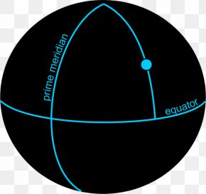
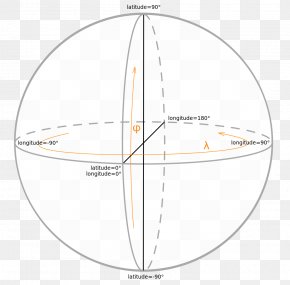
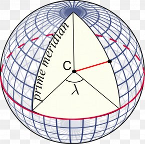
User cptcavernatv uploaded this Map - Plot Map Mollweide Projection Geographic Coordinate System Data PNG PNG image on February 2, 2018, 6:53 pm. The resolution of this file is 1263x733px and its file size is: 91.46 KB. This PNG image is filed under the tags:
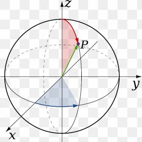
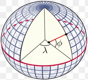
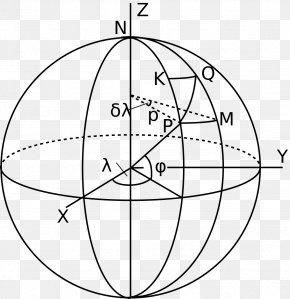
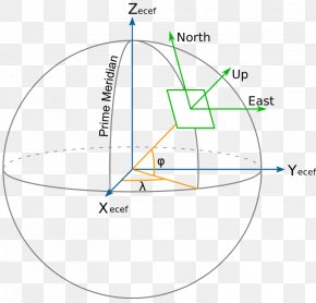
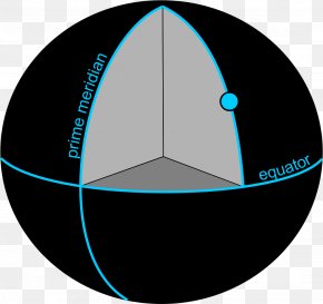
Map - Plot Map Mollweide Projection Geographic Coordinate System Data PNG
Below are more related PNG images...