Save
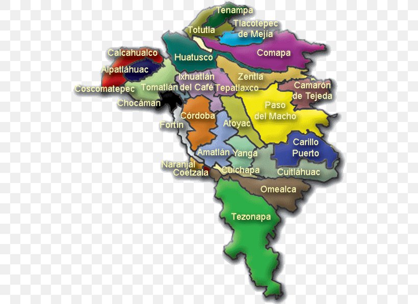
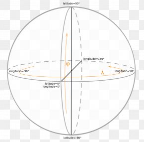
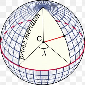
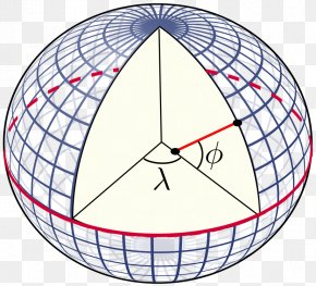
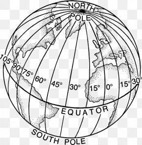
User lm8560 uploaded this Map - Carrillo Puerto H. Ayuntamiento Map Geography Geographic Coordinate System PNG PNG image on July 10, 2018, 10:38 pm. The resolution of this file is 548x598px and its file size is: 341.71 KB. This PNG image is filed under the tags:
Map - Carrillo Puerto H. Ayuntamiento Map Geography Geographic Coordinate System PNG
Below are more related PNG images...