Save
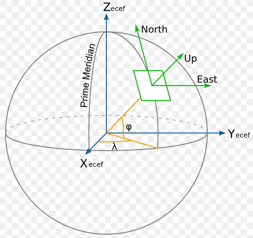
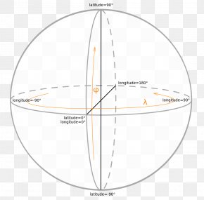
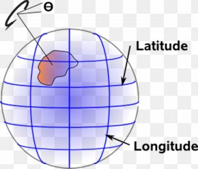
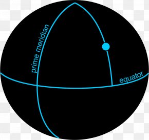
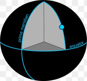
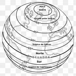
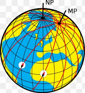
User booterskid uploaded this Map - Geographic Coordinate System Longitude Latitude ECEF Geodesy PNG PNG image on October 21, 2018, 2:32 am. The resolution of this file is 800x769px and its file size is: 74.08 KB. This PNG image is filed under the tags:
Map - Geographic Coordinate System Longitude Latitude ECEF Geodesy PNG
Below are more related PNG images...