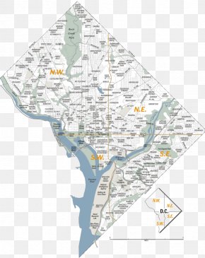
Save
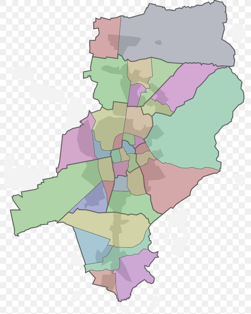
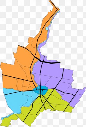
User albern88 uploaded this Map - Ortsteil Woogsviertel Map Neighbourhood Statistical District PNG PNG image on September 1, 2024, 4:38 am. The resolution of this file is 791x1024px and its file size is: 154.49 KB. This PNG image is filed under the tags:
Map - Ortsteil Woogsviertel Map Neighbourhood Statistical District PNG
Below are more related PNG images...