Save
User jacjack19 uploaded this Los Santos - Map Macaracas Tonosí District Los Santos Terrain PNG PNG image on March 6, 2019, 5:39 pm. The resolution of this file is 635x600px and its file size is: 138.24 KB. This PNG image is filed under the tags:
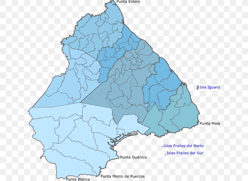
Los Santos - Map Macaracas Tonosí District Los Santos Terrain PNG
Below are more related PNG images...