Save
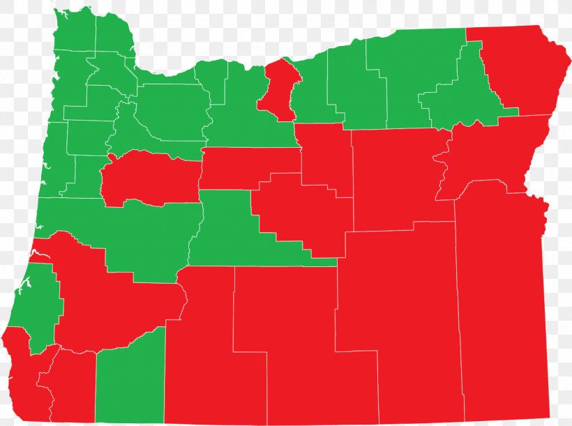
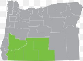
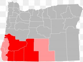
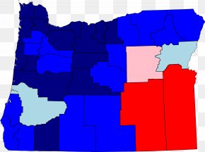
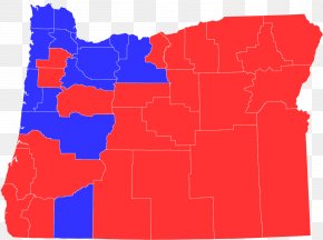
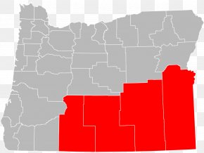
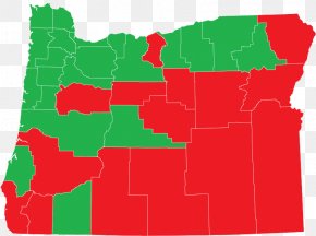
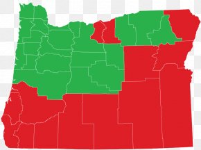
User karrar99 uploaded this Map - Jefferson County, Oregon Map Election Electoral District Public Records PNG PNG image on August 17, 2024, 4:19 pm. The resolution of this file is 1280x954px and its file size is: 140.17 KB. This PNG image is filed under the tags:
Map - Jefferson County, Oregon Map Election Electoral District Public Records PNG
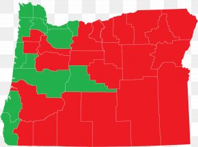
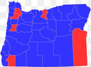
Below are more related PNG images...