Save
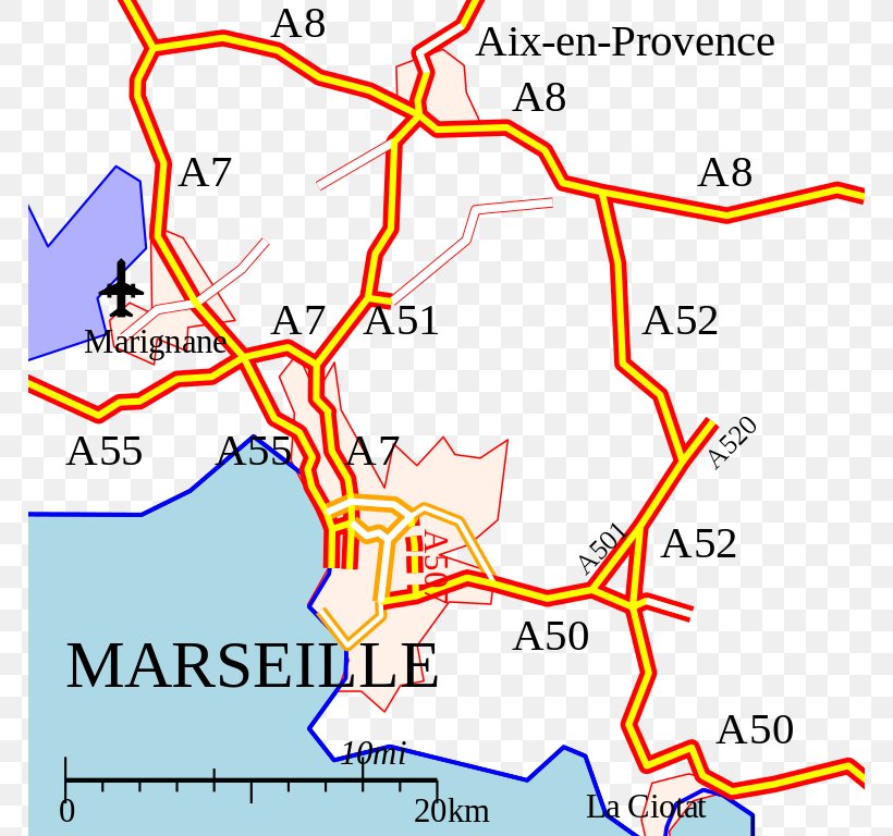
User rnesius uploaded this Map - Map Notre-Dame De La Garde Controlled-access Highway Road Street Network PNG PNG image on February 3, 2018, 6:10 pm. The resolution of this file is 768x768px and its file size is: 128.96 KB. This PNG image is filed under the tags:
Map - Map Notre-Dame De La Garde Controlled-access Highway Road Street Network PNG
Below are more related PNG images...