browse
background remover
login
create account
Sign Up
Login
Background Remover
Image Editor
Browse
Colors
Help / FAQ
Save
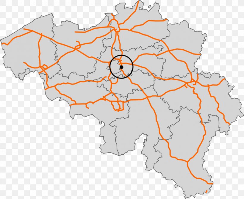
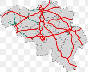
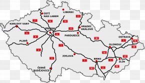
User
moksin
uploaded this Map - Belgium Map Controlled-access Highway Road PNG PNG image on July 31, 2018, 7:23 pm. The resolution of this file is 940x768px and its file size is: 249.97 KB. This PNG image is filed under the tags:
Belgium
Area
Controlledaccess Highway
Highway
Interchange
International Eroad Network
Map
Mapa Polityczna
Ring Road
Road
Road Map
Street Network
Toll Road
Tree
Download PNG
(249.97 KB)
Map - Belgium Map Controlled-access Highway Road PNG
Edit PNG
AI Background Remover
940x768
249.97 KB
July 31, 2018
PNG (300 DPI)
moksin
Send Message
Below are more related PNG images...
Most recently uploaded images...
Forgot your password? No problem...
After clicking the Request New Password button, you will be redirected to the frontpage. You will then receive an email with further instructions.
Request New Password
Sign up and start downloading in seconds... totally FREE
Sign up with your social network
Google
Facebook
Twitter
or use the form below
By clicking the "Sign Up" button you confirm that you agree with our
Terms of Service
,
Privacy Policy
and our
Notification Settings
.
Sign Up
Already have an account?
Log In
Log back into your account...
Login with your social network
Google
Facebook
Twitter
or
Login
No account yet?
Sign Up
Forgot your password?