Save
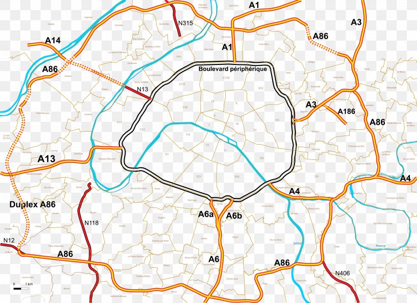
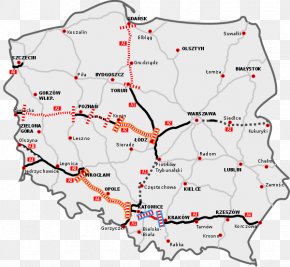
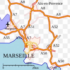
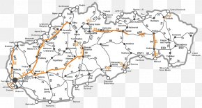
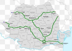
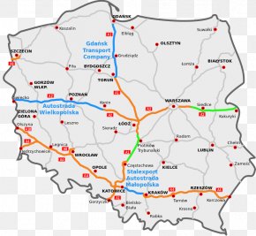
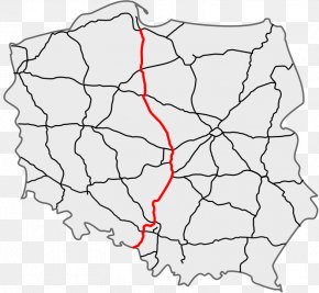
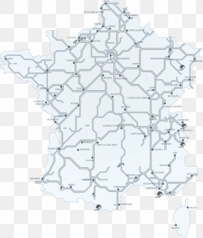
User LeeAdmin uploaded this Map - A86 Autoroute Map Controlled-access Highway Road Le Boulevard PNG PNG image on July 19, 2019, 6:34 pm. The resolution of this file is 4099x2989px and its file size is: 2.21 MB. This PNG image is filed under the tags:
Map - A86 Autoroute Map Controlled-access Highway Road Le Boulevard PNG
Below are more related PNG images...