Save
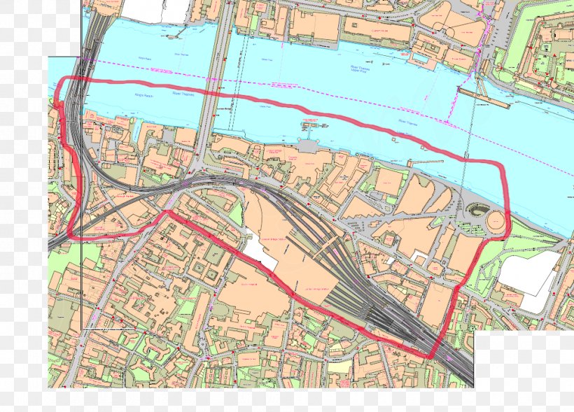
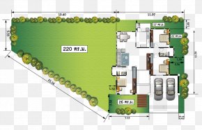
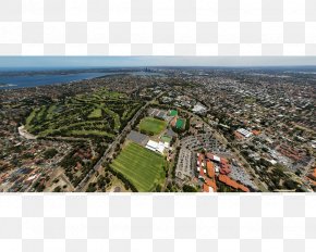
User Chuckstone uploaded this London Bridge - Map Land Lot Urban Design Bird's-eye View Plan PNG PNG image on April 4, 2019, 7:30 pm. The resolution of this file is 1005x723px and its file size is: 849.92 KB. This PNG image is filed under the tags:
London Bridge - Map Land Lot Urban Design Bird's-eye View Plan PNG
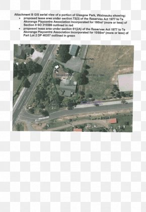
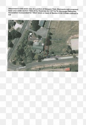
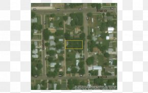
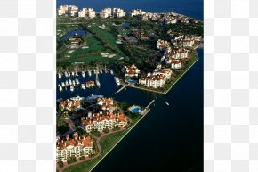
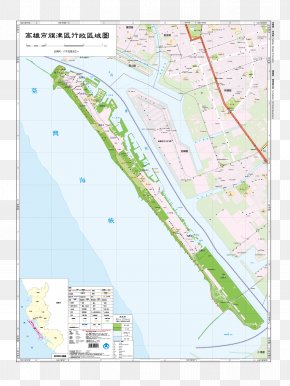
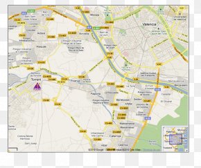
Below are more related PNG images...