Save
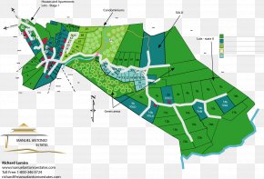
User antoniusachend uploaded this Whitehorse - Map Land Lot Urban Design Plan Elevation PNG PNG image on August 23, 2017, 3:29 am. The resolution of this file is 768x1008px and its file size is: 109.90 KB. This PNG image is filed under the tags:
Whitehorse - Map Land Lot Urban Design Plan Elevation PNG
Below are more related PNG images...