Save
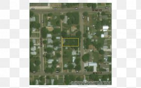
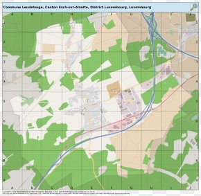
User sedertawer uploaded this Sightseeing Map - Map Land Lot Urban Design Ecoregion Line PNG PNG image on August 3, 2018, 11:08 am. The resolution of this file is 663x557px and its file size is: 512.00 KB. This PNG image is filed under the tags:
Sightseeing Map - Map Land Lot Urban Design Ecoregion Line PNG
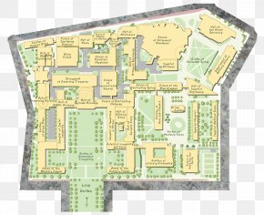
Below are more related PNG images...