Save
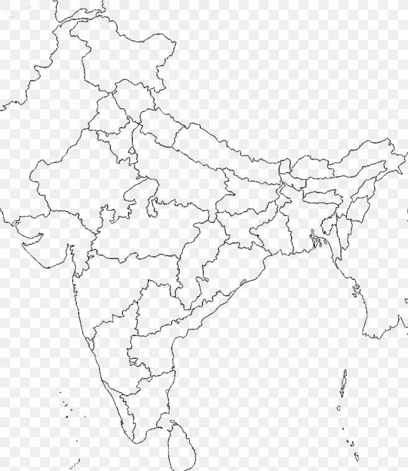
User ABCamper uploaded this Indian Map - States And Territories Of India Blank Map Mapa Polityczna PNG PNG image on October 14, 2017, 1:05 am. The resolution of this file is 943x1091px and its file size is: 56.58 KB. This PNG image is filed under the tags:
Indian Map - States And Territories Of India Blank Map Mapa Polityczna PNG
Below are more related PNG images...