Save
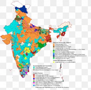
User pepitoand uploaded this India Map - Delhi Mapa Polityczna States And Territories Of India Political Party PNG PNG image on July 11, 2017, 1:55 pm. The resolution of this file is 5011x5623px and its file size is: 2.07 MB. This PNG image is filed under the tags:
India Map - Delhi Mapa Polityczna States And Territories Of India Political Party PNG
Below are more related PNG images...