Save
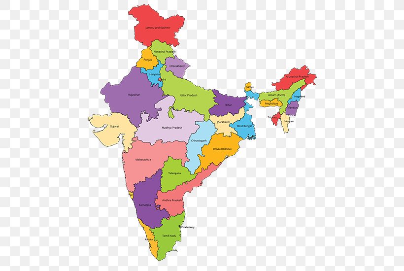
User gcampfield uploaded this India - States And Territories Of India Blank Map Mapa Polityczna PNG PNG image on May 11, 2018, 12:23 am. The resolution of this file is 550x550px and its file size is: 115.47 KB. This PNG image is filed under the tags:
India - States And Territories Of India Blank Map Mapa Polityczna PNG
Below are more related PNG images...