browse
logos
calendar
log in
sign up
Browse PNG's
Famous PNG Logos
Events Calendar
Popular PNG's
Newest PNG's
PNG's by Color
AI Background Remover
AI Image Editor
Help / FAQ
Road Maps PNG Images
- 4,048 free transparent PNG images matching "Road Maps"
⮜
Road Map Aid
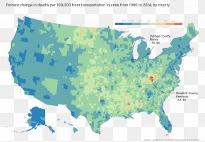
Road Map
Road Map Illustration
Read A Road Map Day
Road Map Technology
Map Pointer On Coastal Road
⮞
First
7
8
9
10
Last
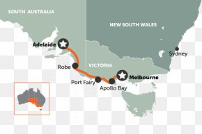
Map
Road Map
Road
Area
Highway
United States
Text
World Map
Tree
Diagram
Controlledaccess Highway
Black And White
World
Brand
Google Maps
City Map
Blank Map
Atlas
Point
Line Art
Water Resources
Geography
Black
Toll Road
White