browse
logos
calendar
log in
sign up
Browse PNG's
Famous PNG Logos
Events Calendar
Popular PNG's
Newest PNG's
PNG's by Color
AI Background Remover
AI Image Editor
Help / FAQ
Remote Sensing PNG Images
- 175 free transparent PNG images matching "Remote Sensing"
1
2
Last
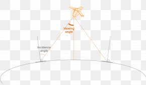
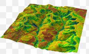
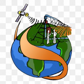
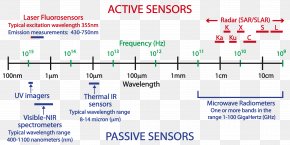
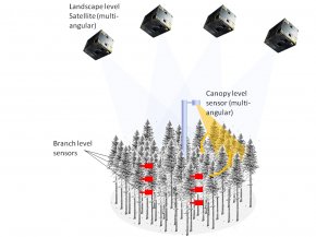
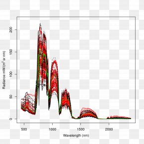
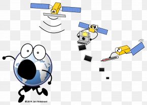
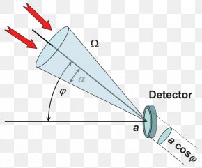
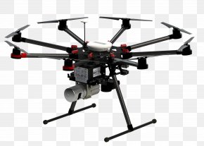
Remote Sensing
Sensor
Technology
Area
Brand
Satellite
Text
Diagram
Information
Logo
Satellite Imagery
Organization
Hardware
Data
Map
Symbol
Unmanned Aerial Vehicle
Geographic Information System
Research
Industry
Business
Machine
System
Science
Black And White