Save
User dadead1601 uploaded this Drone View - Airplane Unmanned Aerial Vehicle Topography Remote Sensing Surveyor PNG PNG image on January 16, 2019, 10:32 pm. The resolution of this file is 1151x487px and its file size is: 186.30 KB. This PNG image is filed under the tags:
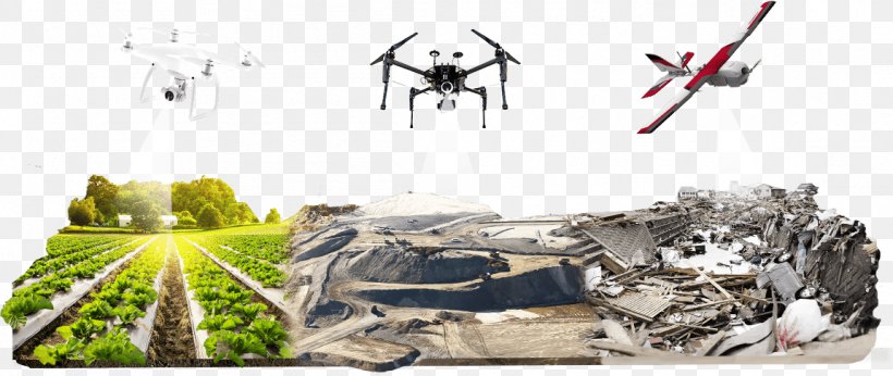
Drone View - Airplane Unmanned Aerial Vehicle Topography Remote Sensing Surveyor PNG
Below are more related PNG images...