browse
logos
calendar
log in
sign up
Browse PNG's
Famous PNG Logos
Events Calendar
Popular PNG's
Newest PNG's
PNG's by Color
AI Background Remover
AI Image Editor
Help / FAQ
Geographical Model PNG Images
- 104 free transparent PNG images matching "Geographical Model"
⮜
Geographical Models
Geographic Model
Digital Geographic Model
⮞
1
2
Last
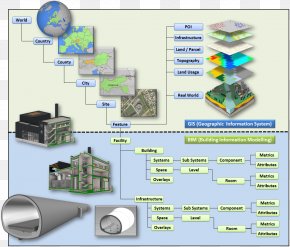
Geographic Information System
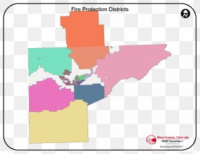
Map
Area
Brand
Text
Globe
World
Geography
Information
Computer Software
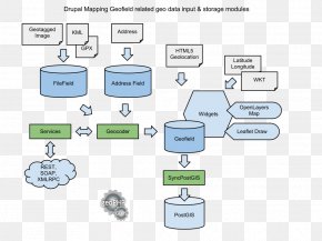
Geographic Data And Information
Diagram
Logo
Data
World Map
Earth
Technology
Earth Model
Organization
Opensource Model
Symbol
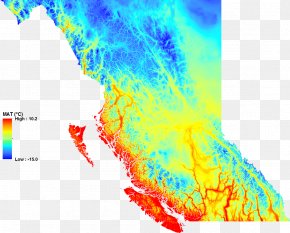
Digital Elevation Model
Building Information Modeling
Educational Tool
Elevation