Save
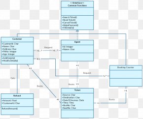
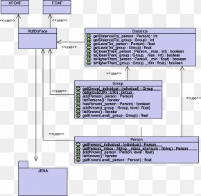
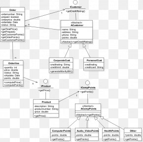
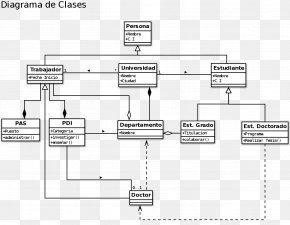
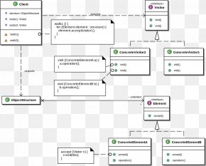
User vullz1132Gibbs uploaded this Map - Class Diagram Unified Modeling Language Geographic Information System PNG PNG image on July 31, 2018, 7:44 am. The resolution of this file is 784x534px and its file size is: 73.09 KB. This PNG image is filed under the tags:
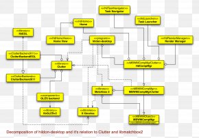
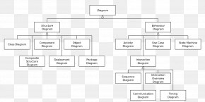
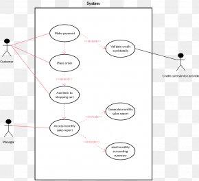
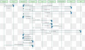
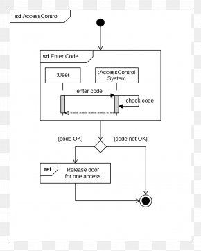
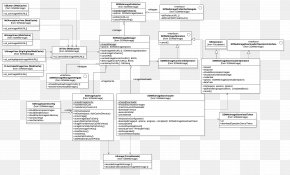
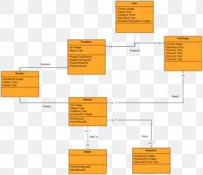
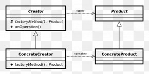
Map - Class Diagram Unified Modeling Language Geographic Information System PNG
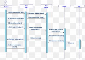
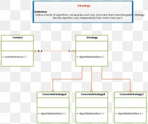
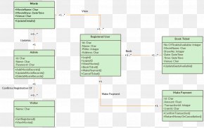
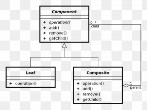
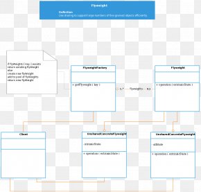
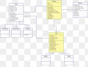
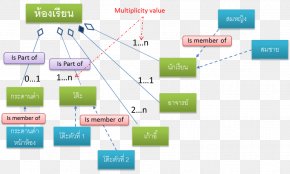
Below are more related PNG images...