Save

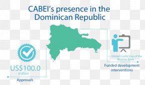
User nyquist212 uploaded this Vector Figures And Maps - 2010 Haiti Earthquake Dominican Republic World Map PNG PNG image on April 12, 2017, 4:09 pm. The resolution of this file is 1000x902px and its file size is: 225.88 KB. This PNG image is filed under the tags:
Vector Figures And Maps - 2010 Haiti Earthquake Dominican Republic World Map PNG
Below are more related PNG images...