Save
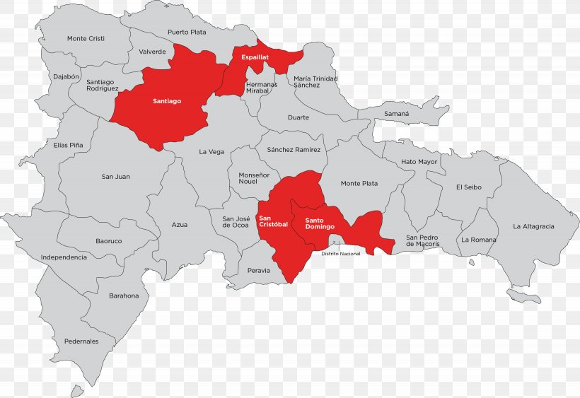
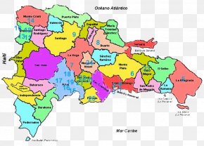
User Random260 uploaded this Map - Provinces Of The Dominican Republic World Map World Map PNG PNG image on November 17, 2018, 10:15 pm. The resolution of this file is 3075x2112px and its file size is: 304.54 KB. This PNG image is filed under the tags:
Map - Provinces Of The Dominican Republic World Map World Map PNG
Below are more related PNG images...