Save
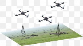
User pelagioeng16 uploaded this Solution Map - Architectural Engineering Industry Unmanned Aerial Vehicle Map Planning PNG PNG image on September 28, 2021, 2:26 pm. The resolution of this file is 630x630px and its file size is: 309.08 KB. This PNG image is filed under the tags:
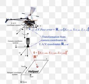
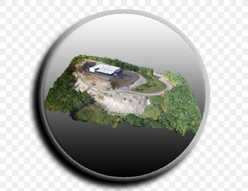
Solution Map - Architectural Engineering Industry Unmanned Aerial Vehicle Map Planning PNG
Below are more related PNG images...