Save

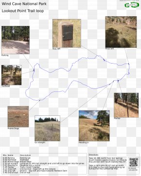
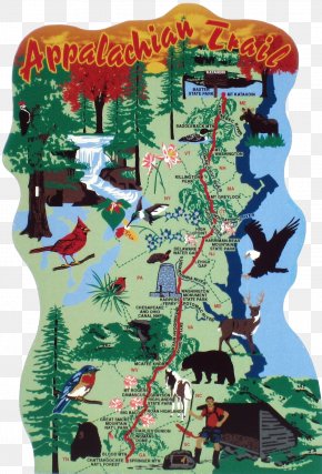
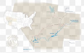
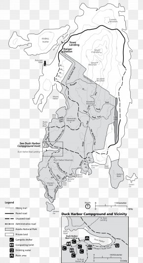
User Darbhole uploaded this Map - Trail Map National Recreation Trail Weiser River PNG PNG image on May 28, 2019, 11:23 pm. The resolution of this file is 960x871px and its file size is: 42.08 KB. This PNG image is filed under the tags:
Map - Trail Map National Recreation Trail Weiser River PNG
Below are more related PNG images...