Save
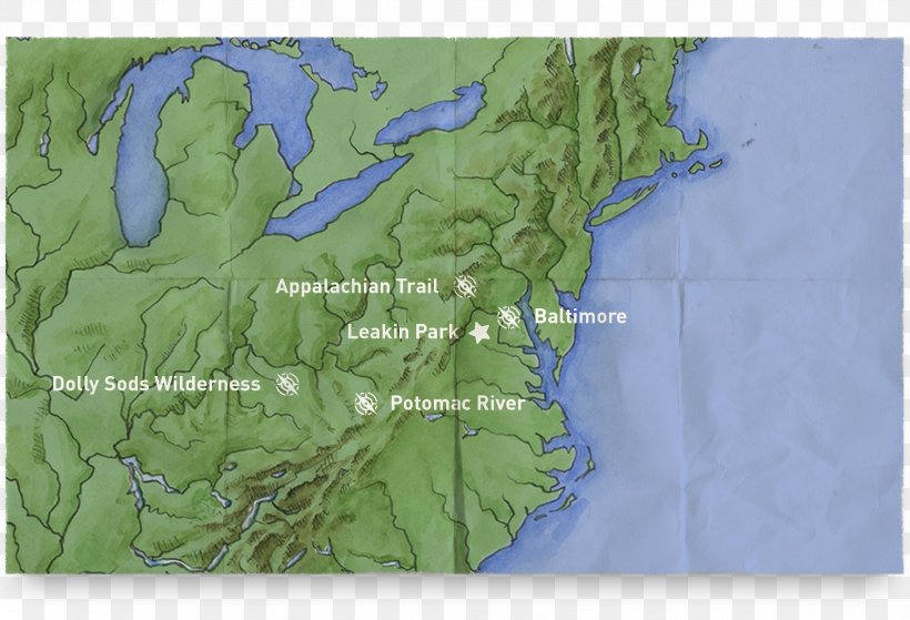
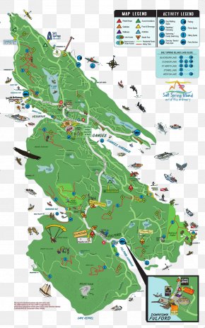
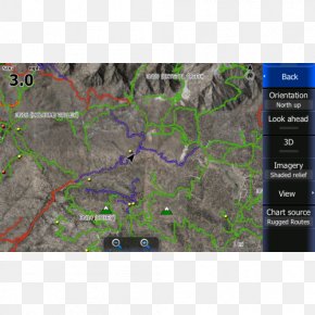
User dlevchik uploaded this Map - Dolly Sods Wilderness Trail Map Delaware Water Gap PNG PNG image on March 13, 2018, 11:35 am. The resolution of this file is 2353x1606px and its file size is: 4.94 MB. This PNG image is filed under the tags:
Map - Dolly Sods Wilderness Trail Map Delaware Water Gap PNG
Below are more related PNG images...