Save
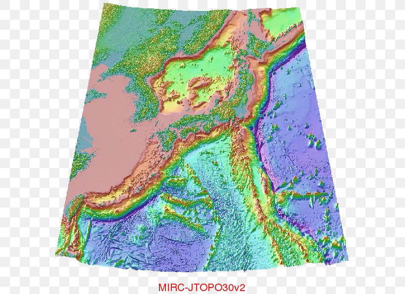
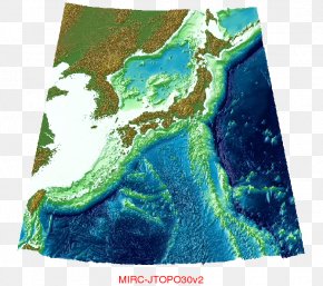
User wt2klf32 uploaded this Map - Topographic Map Seabed Bird's-eye View Plan PNG PNG image on May 29, 2018, 11:39 am. The resolution of this file is 669x595px and its file size is: 1.07 MB. This PNG image is filed under the tags:
Map - Topographic Map Seabed Bird's-eye View Plan PNG
Below are more related PNG images...