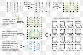
Save
User delythupton9 uploaded this Map - Reading Topographic Maps Contour Line WikiHow PNG PNG image on August 24, 2018, 12:10 pm. The resolution of this file is 1200x1200px and its file size is: 870.40 KB. This PNG image is filed under the tags:
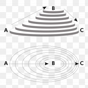
Map - Reading Topographic Maps Contour Line WikiHow PNG
Below are more related PNG images...