Save
User adadaddddddddddddddd uploaded this Contour Line - Topographic Map Contour Line Topography Ordnance Survey PNG PNG image on September 26, 2017, 10:57 pm. The resolution of this file is 2000x2000px and its file size is: 317.92 KB. This PNG image is filed under the tags:
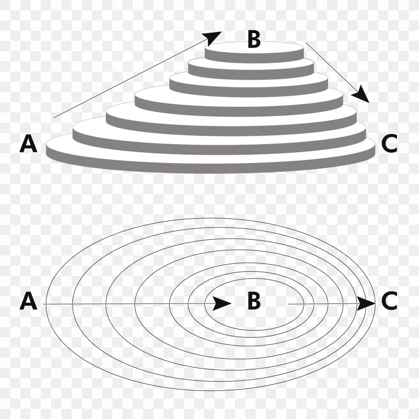
Contour Line - Topographic Map Contour Line Topography Ordnance Survey PNG
Below are more related PNG images...