Save
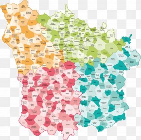
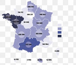
User mammt12 uploaded this Map - Pays De La Loire Vector Graphics Map Normandy Image PNG PNG image on June 1, 2019, 5:04 pm. The resolution of this file is 1024x1024px and its file size is: 223.77 KB. This PNG image is filed under the tags:
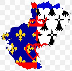
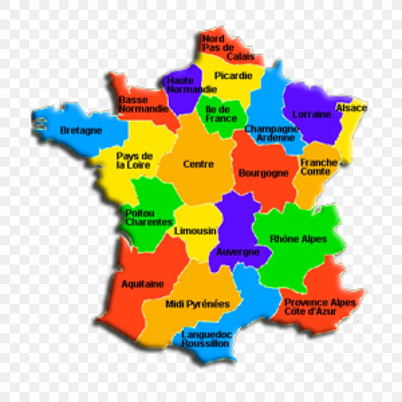
Map - Pays De La Loire Vector Graphics Map Normandy Image PNG
Below are more related PNG images...