User gabeiscool uploaded the image
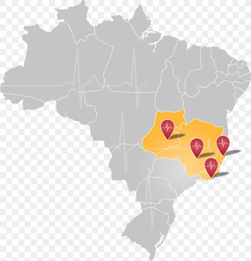
A map of Brazil, with the country's borders outlined in white. The map is color-coded, with different shades of gray representing different regions of the country. On the right side of the map, there is a yellow area with three red heart-shaped icons scattered across it. The icons represent different locations within the country, such as cities, towns, and rivers.
Brazil Vector Graphics Map Illustration Image PNG
. The resolution of this PNG file is 1000 x 1037 pixels and it has a file size of 48.58 KB.A map of Brazil, with the country's borders outlined in white. The map is color-coded, with different shades of gray representing different regions of the country. On the right side of the map, there is a yellow area with three red heart-shaped icons scattered across it. The icons represent different locations within the country, such as cities, towns, and rivers.
Related PNG Images