User makemem1 uploaded the image
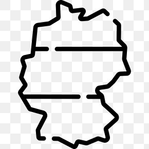
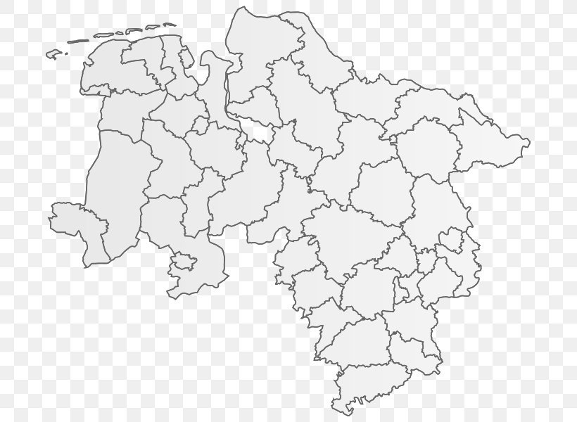
A black and white map of a country. The map is outlined in white and shows the provinces and their borders. The provinces are arranged in a grid-like pattern, with each province having its own distinct shape and size. The borders of the provinces are outlined in black, while the rest of the map is in a lighter shade of white.
Lower Saxony Blank Map Geography States Of Germany PNG
. The resolution of this PNG file is 705 x 600 pixels and it has a file size of 127.23 KB.A black and white map of a country. The map is outlined in white and shows the provinces and their borders. The provinces are arranged in a grid-like pattern, with each province having its own distinct shape and size. The borders of the provinces are outlined in black, while the rest of the map is in a lighter shade of white.
Related PNG Images