User heroick uploaded the image
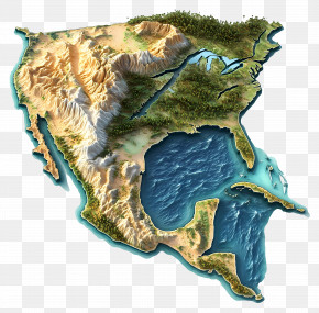
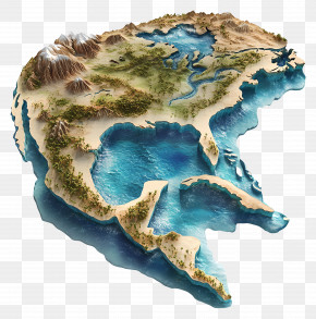
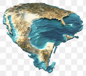
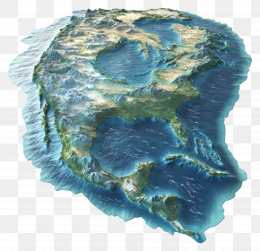
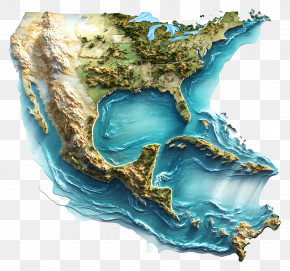
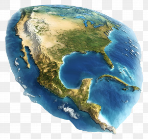
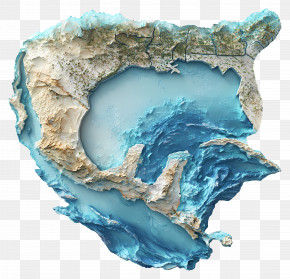
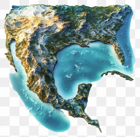
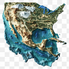
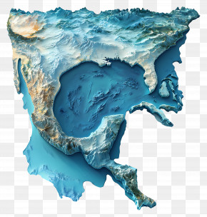
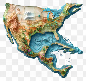
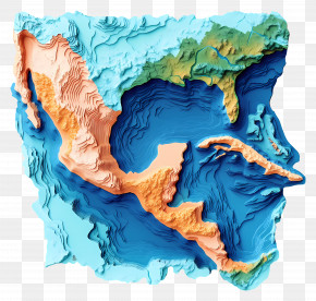
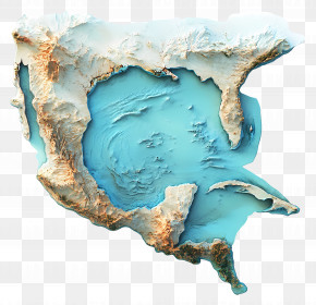
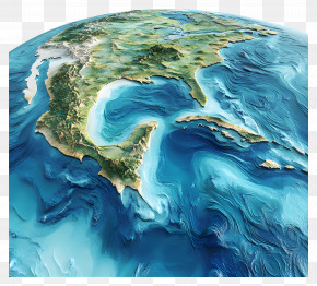
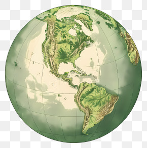
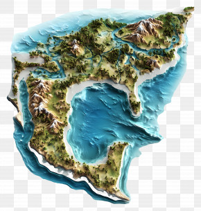
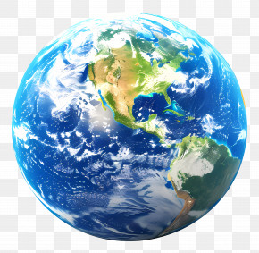
A 3D map of the United States of America. The map is divided into different sections, each with a different color and texture. The top half of the map is white, while the bottom half is blue. The colors are mostly shades of blue and green, with some areas being darker and others lighter. The map appears to be a topographic representation of the country, with various geographical features such as mountains, rivers, and oceans visible. The mountains are covered in snow and ice, and the rivers are flowing in different directions. The oceans are a deep blue-green color, and there are small islands scattered throughout the map. The overall effect is a beautiful and detailed representation of a natural landscape.
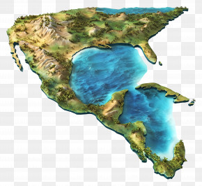
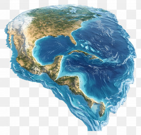
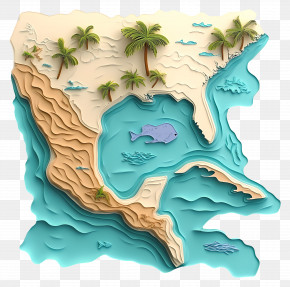
Gulf Of Mexico - 3D Map Of North America PNG
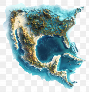
. The resolution of this PNG file is 3960 x 3780 pixels and it has a file size of 19.59 MB.A 3D map of the United States of America. The map is divided into different sections, each with a different color and texture. The top half of the map is white, while the bottom half is blue. The colors are mostly shades of blue and green, with some areas being darker and others lighter. The map appears to be a topographic representation of the country, with various geographical features such as mountains, rivers, and oceans visible. The mountains are covered in snow and ice, and the rivers are flowing in different directions. The oceans are a deep blue-green color, and there are small islands scattered throughout the map. The overall effect is a beautiful and detailed representation of a natural landscape.
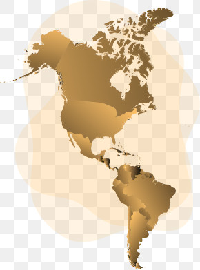
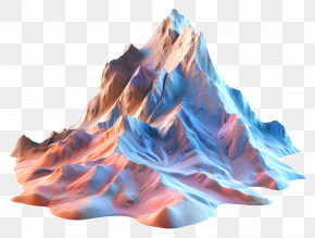
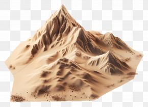
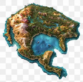
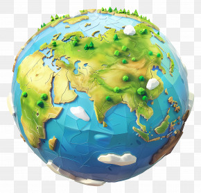
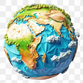
Related PNG Images