Save
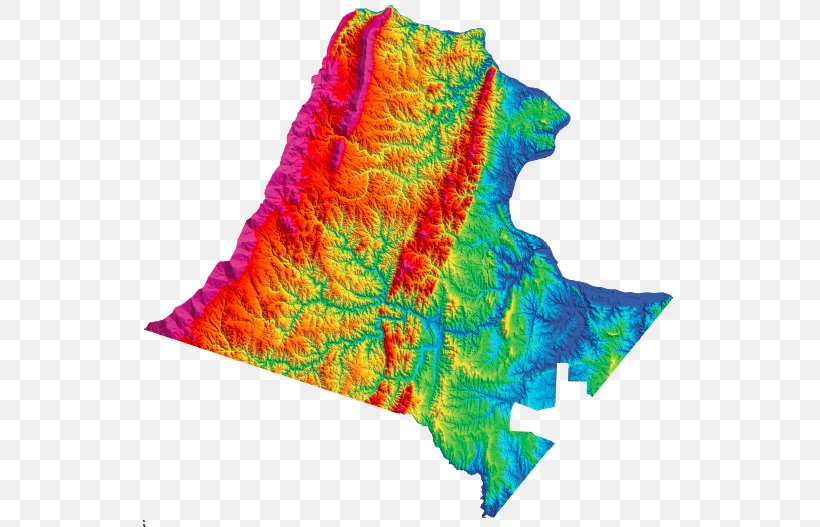
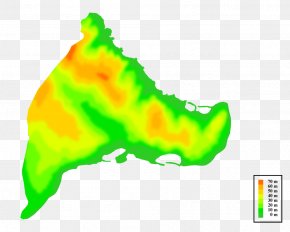
User peticulas uploaded this Map - Loudoun County Fairfax County Topographic Map Elevation PNG PNG image on April 1, 2018, 10:37 am. The resolution of this file is 534x527px and its file size is: 332.52 KB. This PNG image is filed under the tags:
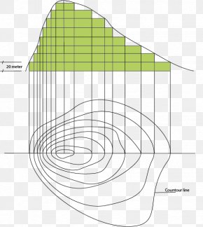
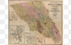
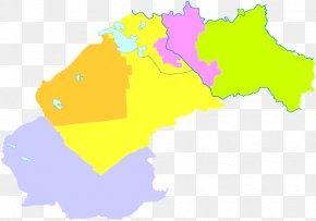
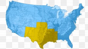
Map - Loudoun County Fairfax County Topographic Map Elevation PNG
Below are more related PNG images...