Save

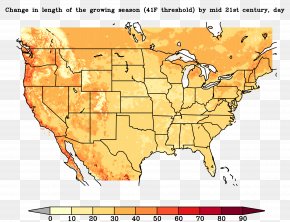
User Mrthadawee uploaded this Map - Elevation Topographic Map Terrain United States Of America PNG PNG image on May 31, 2019, 4:52 pm. The resolution of this file is 757x600px and its file size is: 1.74 MB. This PNG image is filed under the tags:
Map - Elevation Topographic Map Terrain United States Of America PNG
Below are more related PNG images...