Save
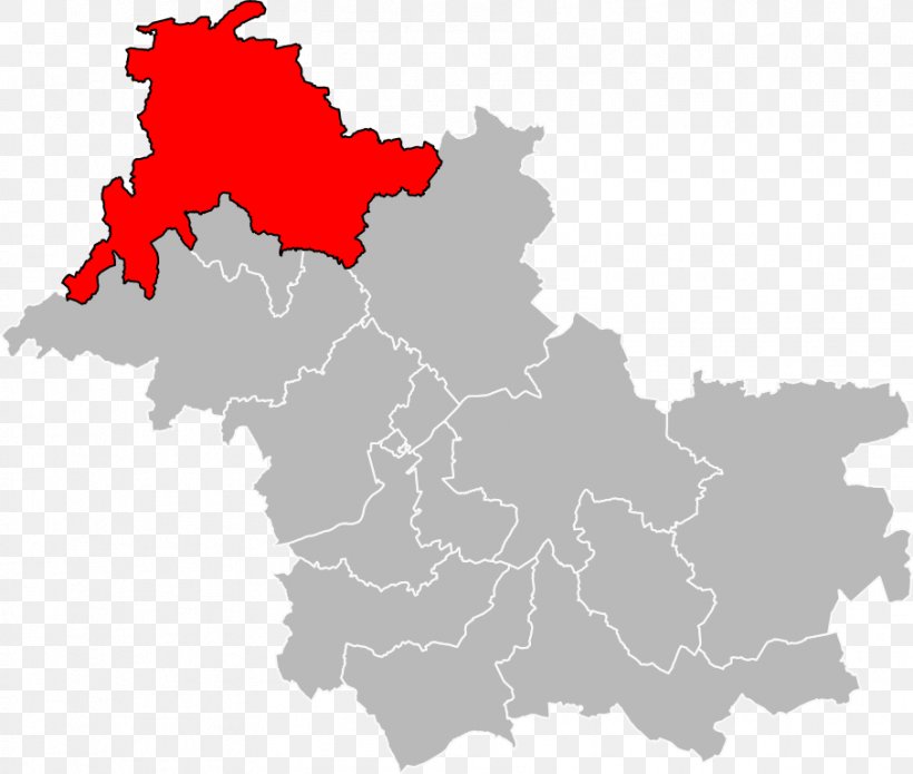
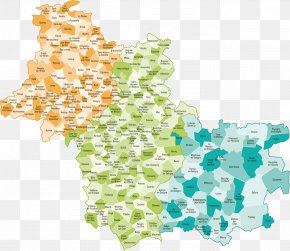
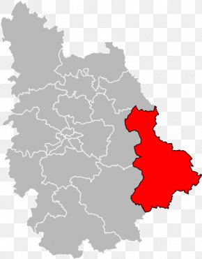
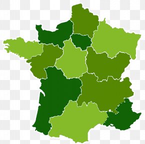
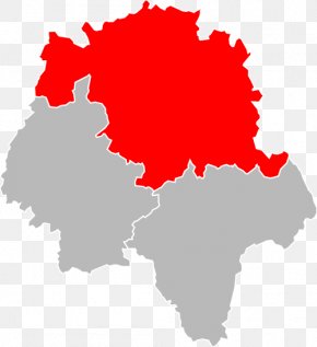
User Nightmonk uploaded this Map - Loir-et-Cher Indre Map PNG PNG image on August 31, 2022, 11:26 am. The resolution of this file is 906x768px and its file size is: 102.65 KB. This PNG image is filed under the tags:
Map - Loir-et-Cher Indre Map PNG
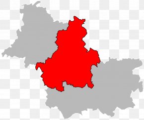
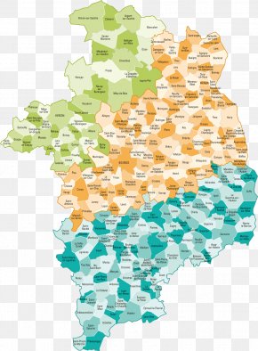
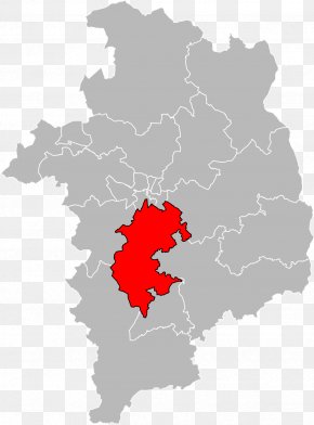
Below are more related PNG images...