Save
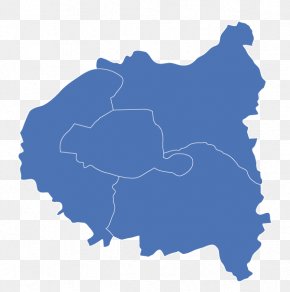
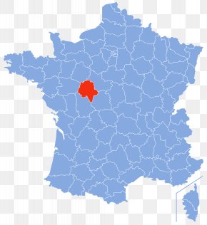
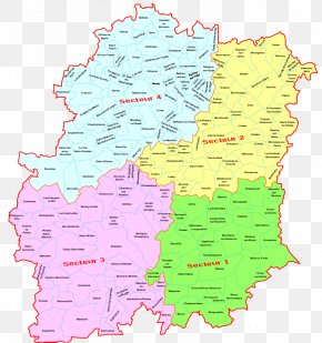
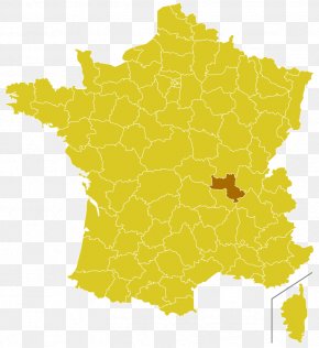
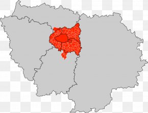
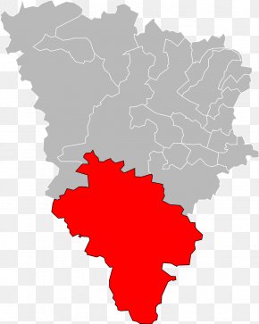
User SonicSkys uploaded this Map - Hauts-de-Seine Map Eure-et-Loir Val-d'Oise Histoire Des Départements Français PNG PNG image on August 20, 2018, 5:53 pm. The resolution of this file is 2489x3099px and its file size is: 1.09 MB. This PNG image is filed under the tags:
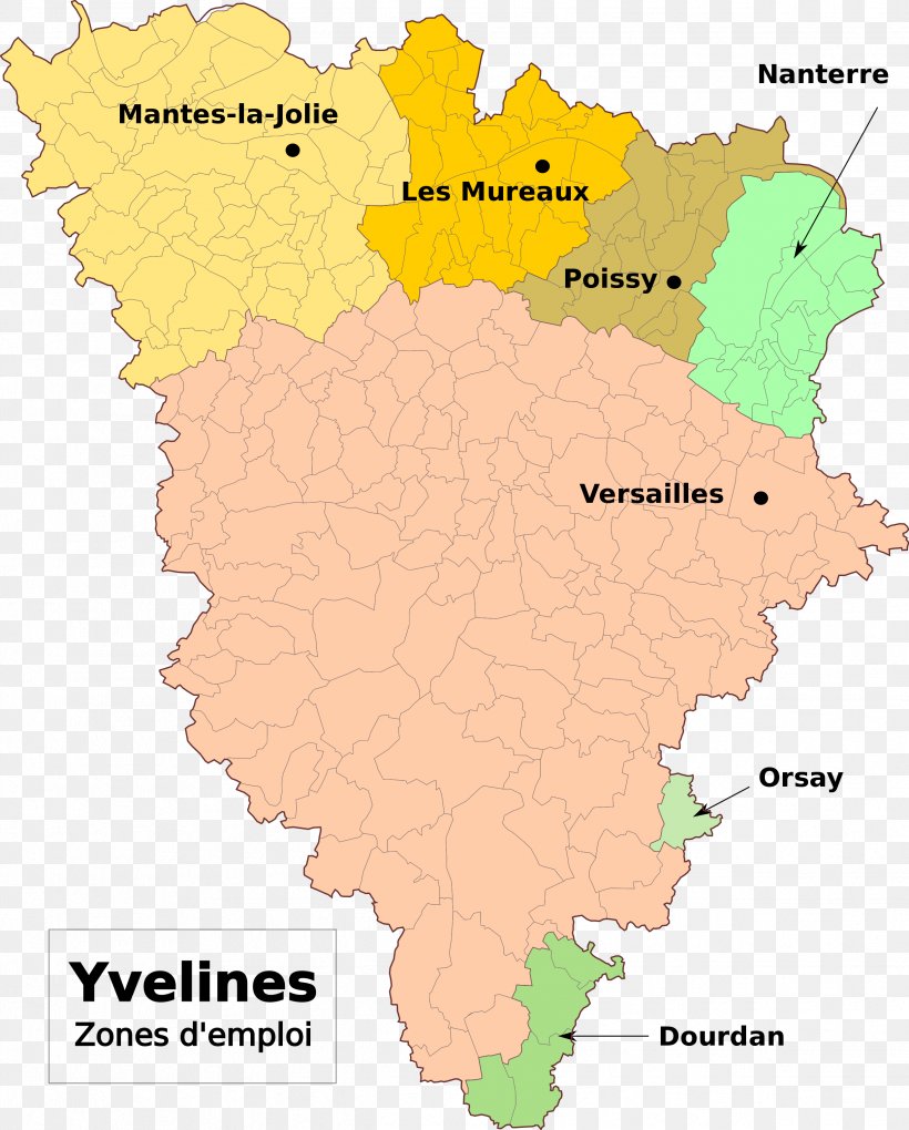
Map - Hauts-de-Seine Map Eure-et-Loir Val-d'Oise Histoire Des Départements Français PNG
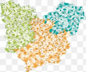
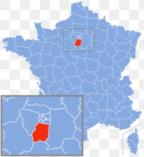
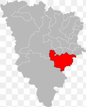
Below are more related PNG images...