Save
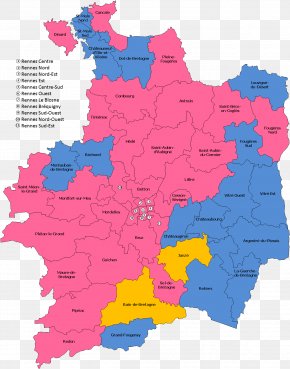
User unval uploaded this Map - Ille Vilaine Mayenne Map Messac PNG PNG image on April 2, 2018, 11:10 am. The resolution of this file is 1304x1660px and its file size is: 205.26 KB. This PNG image is filed under the tags:
Map - Ille Vilaine Mayenne Map Messac PNG
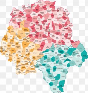
Below are more related PNG images...