Save
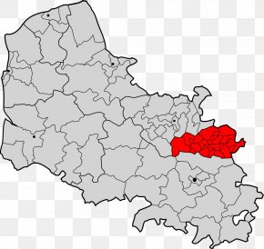
User antkajiki uploaded this Canton Of Tarbes1 - Arrondissement Of Mayenne Laval Ernée Map PNG PNG image on February 20, 2024, 4:08 am. The resolution of this file is 1200x1265px and its file size is: 158.78 KB. This PNG image is filed under the tags:
Canton Of Tarbes1 - Arrondissement Of Mayenne Laval Ernée Map PNG
Below are more related PNG images...