Save
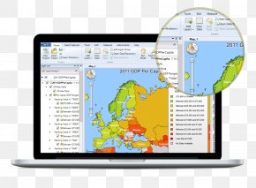
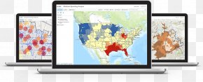
User shumaxer1984 uploaded this Map - Geographic Information System Geography Geospatial Analysis Map PNG PNG image on March 19, 2018, 7:52 pm. The resolution of this file is 903x528px and its file size is: 716.80 KB. This PNG image is filed under the tags:
Map - Geographic Information System Geography Geospatial Analysis Map PNG
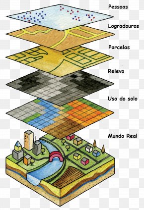
Below are more related PNG images...