Save

User cliffrichi uploaded this Earth In - Geographic Information System GIS Day Geographic Data And Information Geography Map PNG PNG image on June 5, 2017, 3:32 am. The resolution of this file is 1000x969px and its file size is: 1.27 MB. This PNG image is filed under the tags:
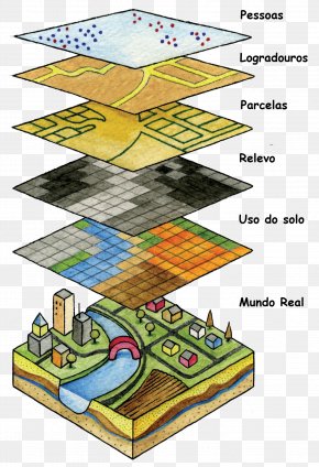
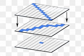
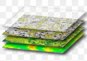
Earth In - Geographic Information System GIS Day Geographic Data And Information Geography Map PNG
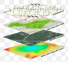
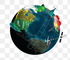
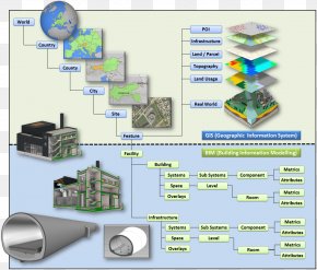
Below are more related PNG images...