Save
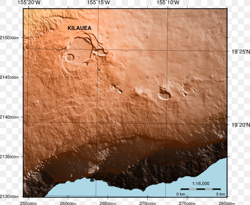
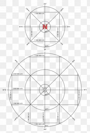
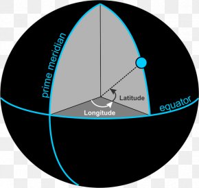
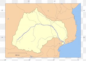
User WWMRK uploaded this Map - Generic Mapping Tools Universal Transverse Mercator Coordinate System Geography Plot PNG PNG image on October 24, 2018, 2:21 am. The resolution of this file is 1162x953px and its file size is: 1.32 MB. This PNG image is filed under the tags:
Map - Generic Mapping Tools Universal Transverse Mercator Coordinate System Geography Plot PNG
Below are more related PNG images...