Save
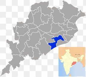
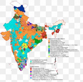
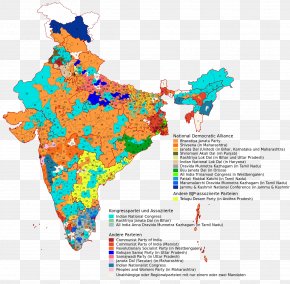
User SidneyWood uploaded this Map - Dhenkanal Balangir District Map States And Territories Of India Stock Photography PNG PNG image on April 18, 2018, 11:43 am. The resolution of this file is 696x639px and its file size is: 40.78 KB. This PNG image is filed under the tags:
Map - Dhenkanal Balangir District Map States And Territories Of India Stock Photography PNG
Below are more related PNG images...