Save
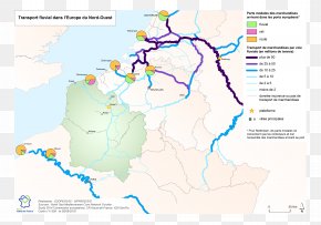
User docchoc uploaded this Map - Calais Béthune Dourges Ostricourt Map PNG PNG image on January 6, 2018, 11:33 pm. The resolution of this file is 2005x1907px and its file size is: 452.55 KB. This PNG image is filed under the tags:
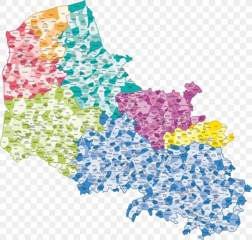
Map - Calais Béthune Dourges Ostricourt Map PNG
Below are more related PNG images...