User thoured81 uploaded the image
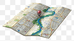
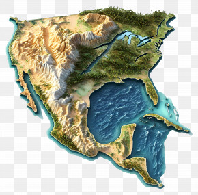
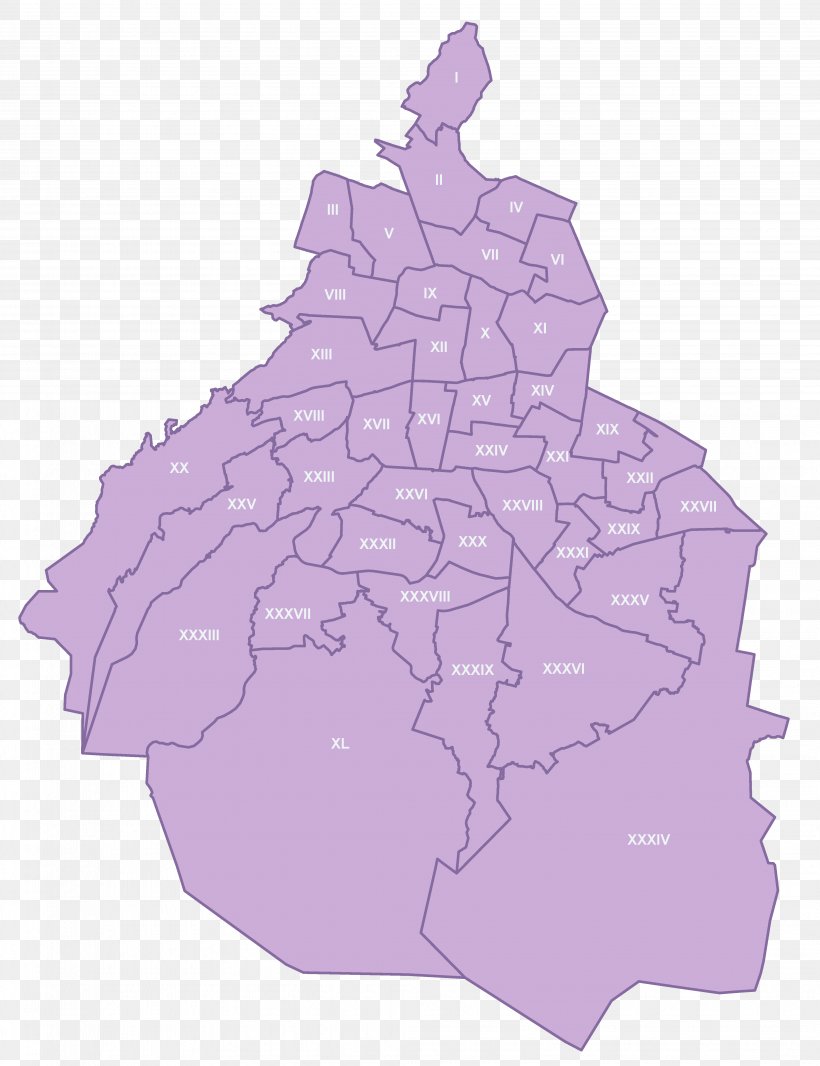
Municipalities Of Mexico City Road Map Geography District PNG
. The Municipalities Of Mexico City Road Map Geography District PNG has a transparent background, is 522.24 KB and has a resolution of 4117 x 5357 pixels.Municipalities Of Mexico City Road Map Geography District PNG
Related PNG Images