Save
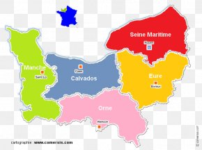
User ProjectDarkCity uploaded this Conch - Andelle Eure Rouen Epte Map PNG PNG image on May 29, 2024, 10:54 am. The resolution of this file is 1073x900px and its file size is: 173.38 KB. This PNG image is filed under the tags:
Conch - Andelle Eure Rouen Epte Map PNG
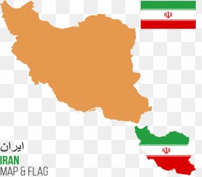
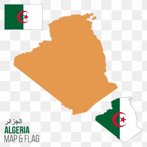
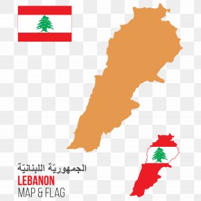
Below are more related PNG images...