Save
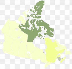
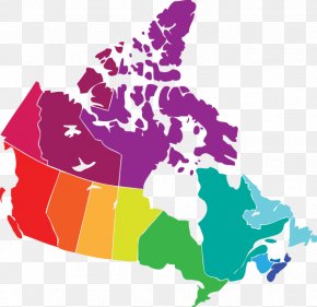
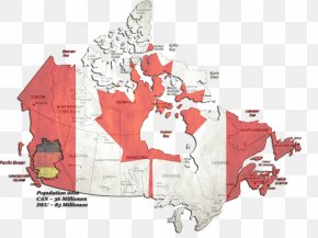
User holh752 uploaded this Canada - Provinces And Territories Of Canada Map 2009 Flu Pandemic In Canada PNG PNG image on June 11, 2017, 7:07 pm. The resolution of this file is 2000x1943px and its file size is: 258.67 KB. This PNG image is filed under the tags:
Canada - Provinces And Territories Of Canada Map 2009 Flu Pandemic In Canada PNG
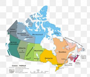
Below are more related PNG images...