User PersonalInjury561 uploaded the image
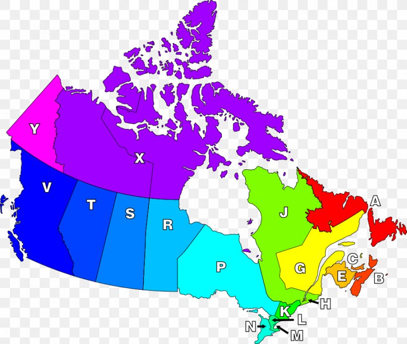
Fredericton Provinces And Territories Of Canada Map PNG
. The Fredericton Provinces And Territories Of Canada Map PNG has a transparent background, is 155.82 KB and has a resolution of 908 x 768 pixels.Fredericton Provinces And Territories Of Canada Map PNG
Related PNG Images